
Scan to CAD Services
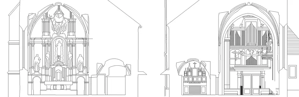
We have been working on Scan to CAD for many years and have completed 1000+ 2D drawings projects including floor plans, ceiling plans, elevations, sections, electrical plans, machine modeling, Terrion drawings, Road mapping, MEP drawings etc, from point cloud data. We work with all type Point cloud formats such as RCS/RCP, E57, LAS, LGS, XYZ, PCG, PTX, etc. The CAD modelers that we have related to the engineering team go through the analysis point cloud files, and then they get an accurate 2D CAD drawings.


Detailing Matters
Our team is capable to transform Point cloud to detail CAD drawings upto LOD500 with the help of using software such as AutoCAD, Revit software, and as-built data gets converted into millimeter accurate 3D models. These models are CAD models which come out as a result of using the software.
Required Formats?
We provide BIM and CAD drawings in required format for their purpose like renovation, machine modeling, information, dimensions, visualizations, simulations, property space testing, animations, rendering, etc and we are strongly able to produce Point cloud data (3d laser scanning) to other formats like RVT, DWG, STEP, STP, IFC, SAT, FBX, STL, DWF, NWC, NWD, OBJ, DGN, PLN, PLA, DXF, IGES, IGS and many more depending on the client's requirement. The CAD(Computer-Aided-Design) software that we use is Autodesk Revit, AutoCAD, 3ds Max, Unreal Engine, Unity, Recap, Faro, Lecia, Archicad, etc.

Let’s understand the workflow for the services of point cloud conversion
-
There's a use of a laser scanner through which the capturing of data takes place. There are various angles that are use to scan to ensure that no site or area is left uncovered.
-
The team that we have receives this particular point cloud file, and then the work starts for generating a 2d plans with the help of software such as AutoCAD.
-
Models which are accurate are built with the help of using AutoCAD files or Revit files that our team analyzes in the best possible manner.
-
There's also the use of laser scanners to capture the real data, and also it takes only some hours if we just compare it with the conventional methods which may take not just some days but so many months as well.